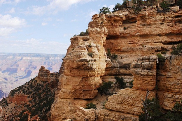
Google has added an impressive new Street View to its Google Maps service of the Grand Canyon, making more than 9,500 panoramic views of the geological feature available to people sitting at their home computers. While it can’t fully replace hopping a plane and walking through the natural wonder yourself, the new 360-degree views of the Grand Canyon are a lot better than just staring at flat photographs. It’s the latest of many striking places on Google Maps where you can get up close and personal through a screen. The company has also gotten Street Views of the Swiss Alps, the Amazon, and Antarctica.
Google sent a team to Arizona to start mapping and recording the national park back in October. The crew hiked 75 miles of roads and trails through and around the canyon. They covered the Bright Angel Trail, South Kaibab Trail, and several scenic overlooks. You can also see highlights such as the Meteor Crater and views of the Colorado River.
The Street View team captured all these panoramas with its Trekker camera. The 15-lens backpack camera snaps a new photo every 2.5 seconds and clocks in at a hefty 40 pounds. By providing such detailed and thorough photographs of an area, the Trekker cameras could be used to bring many other far-off places into closer view on Google Maps.
The Verge reported that Google might have even bigger plans for the material it gathers from these Trekker visits. The company has previously said that it would be interested in combining functions similar to the Trekker cameras to its Google Glass creations. That would mean crowd-sourcing better and cooler views from everyday folks, wherever they happened to be. And even if you don’t want Google Glass, you can still go the DIY approach to participating in the Street View project.
Image via Grand Canyon NPS


