
As sea levels rise, NASA’s new laser satellite will monitor polar ice decline

Update: launch of IceSAT is scheduled for this weeekend.

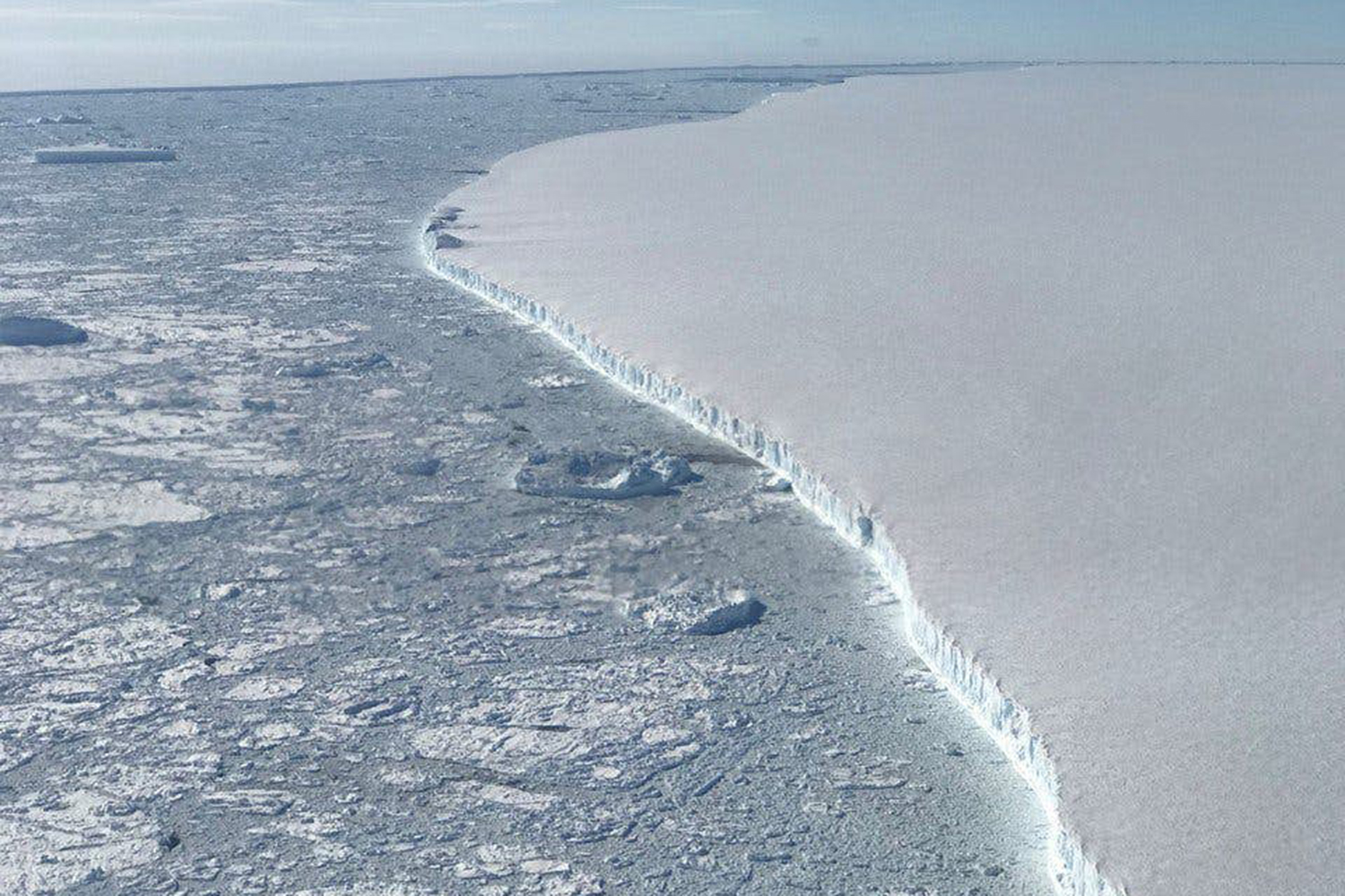
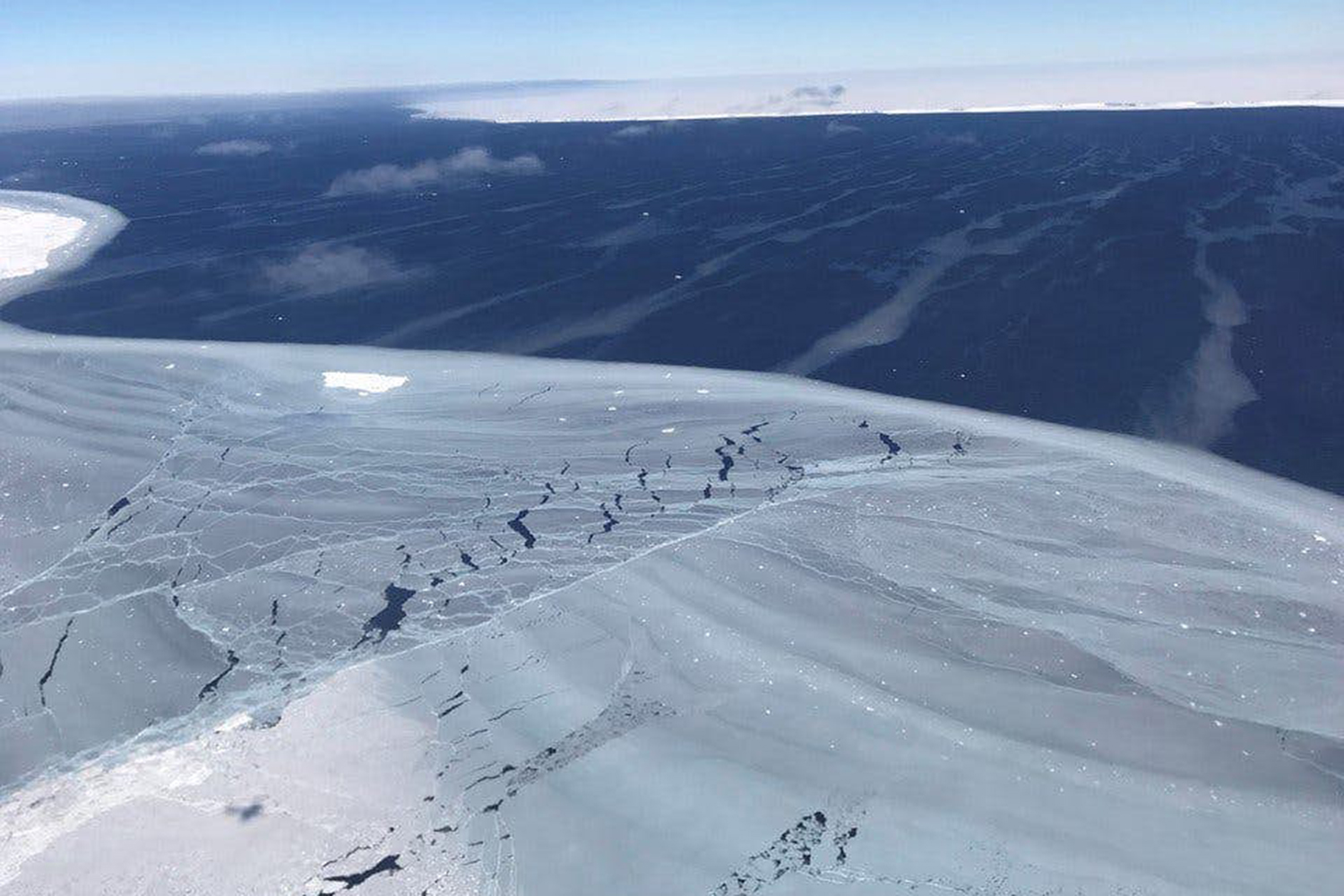
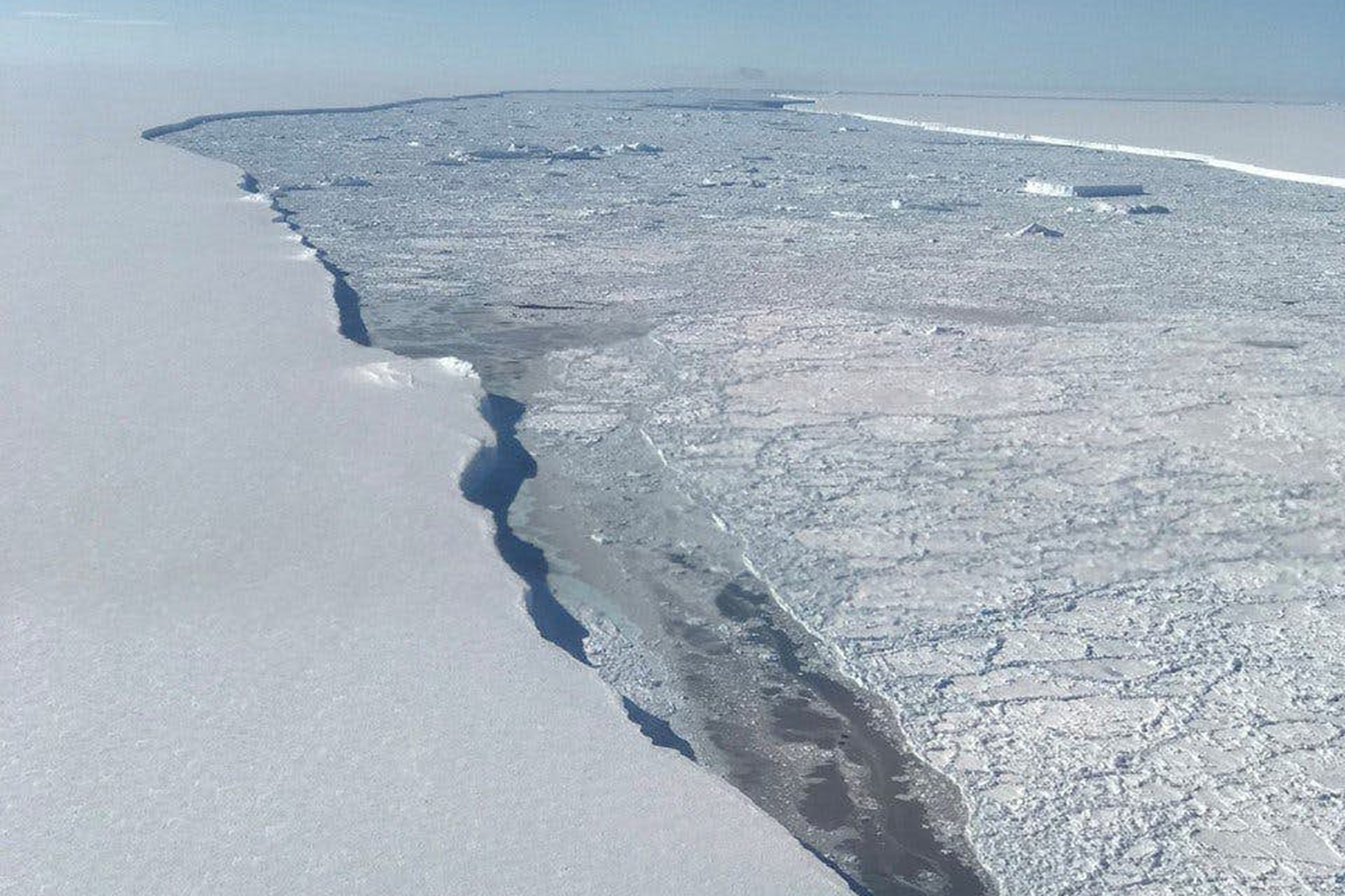
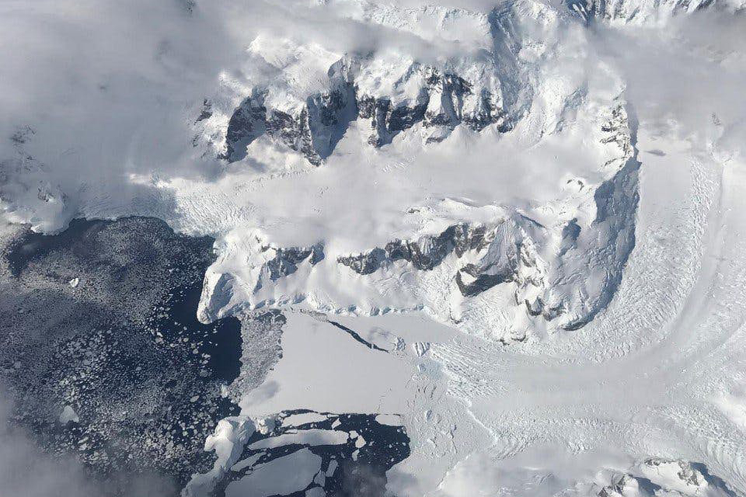
Earth’s poles are the frontlines in the dramatic tale of climate change, where the impacts of increased temperatures can be seen firsthand as massive ice sheets break off and crash into the sea. Tracking glaciers helps understand the consequences of climate change elsewhere — see, for example, sea level rise — and scientists will soon have new tools to enable them to measure polar ice decline in unprecedented detail

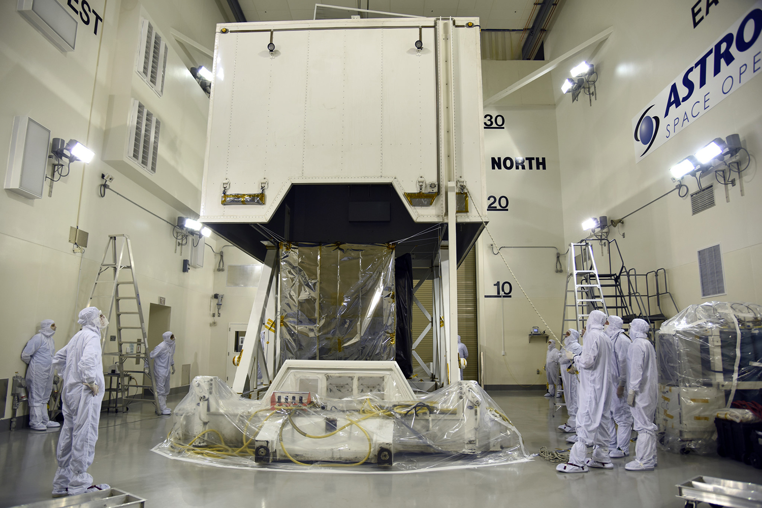
In September, NASA is scheduled to launch an advanced satellite called ICESat-2 (short for Ice, Cloud, and land Elevation Satellite-2), which scientists will use to measure changes in elevation of land ice in polar regions like Greenland and Antarctica. The satellite’s on-board laser can make a whopping 60,000 measurements each second, with precision to within the width of a pencil.

ICESat-2 Adds the Third Dimension to Earth

“The new observational technologies of ICESat-2 — a top recommendation of the scientific community in NASA’s first Earth science decadal survey — will advance our knowledge of how the ice sheets of Greenland and Antarctica contribute to sea level rise,” Michael Freilich, director of NASA’s Earth Science Division, said.

NASA has been using satellites to monitor polar ice for 15 years, but ICESat-2 makes significant advances on the agency’s prior campaigns. Among its technological improvements, the new satellite comes equipped with a highly advanced instrument called the Advanced Topographic Laser Altimeter System (ATLAS). By beaming light particles from space to Earth and back, ATLAS can measure the height of ice by calculating how long it takes the light to return.

“ATLAS required us to develop new technologies to get the measurements needed by scientists to advance the research,” Doug McLennan, a project manager for ICESat-2, said. “That meant we had to engineer a satellite instrument that not only will collect incredibly precise data, but also will collect more than 250 times as many height measurements as its predecessor.”

Polar ice melt is felt around the world. About a third of global sea level rise is attributed to melting ice in Greenland and Antarctica, according to NASA. The rate at which sea level is rising is increasing as global temperatures continue to rise.

ICESat-2 will help track these changes, while monitoring regions beyond the poles. ATLAS is also designed to measure treetops and determine how much carbon is stored in forests around the world.

The satellite is set to launch from Vandenberg Air Force Base in California on September 15.

Dyllan Furness
Dyllan Furness is a freelance writer from Florida. He covers strange science and emerging tech for Digital Trends, focusing…
The best portable power stations
EcoFlow DELTA 2 on table at campsite for quick charging.

Affordable and efficient portable power is a necessity these days, keeping our electronic devices operational while on the go. But there are literally dozens of options to choose from, making it abundantly difficult to decide which mobile charging solution is best for you. We've sorted through countless portable power options and came up with six of the best portable power stations to keep your smartphones, tablets, laptops, and other gadgets functioning while living off the grid.
The best overall: Jackery Explorer 1000

Jackery has been a mainstay in the portable power market for several years, and today, the company continues to set the standard. With three AC outlets, two USB-A, and two USB-C plugs, you'll have plenty of options for keeping your gadgets charged.

Read more
CES 2023: HD Hyundai’s Avikus is an A.I. for autonomous boat and marine navigation
Demonstration of NeuBoat level 2 autonomous navigation system at the Fort Lauderdale International Boat Show

This content was produced in partnership with HD Hyundai.
Autonomous vehicle navigation technology is certainly nothing new and has been in the works for the better part of a decade at this point. But one of the most common forms we see and hear about is the type used to control steering in road-based vehicles. That's not the only place where technology can make a huge difference. Autonomous driving systems can offer incredible benefits to boats and marine vehicles, too, which is precisely why HD Hyundai has unveiled its Avikus AI technology -- for marine and watercraft vehicles.

More recently, HD Hyundai participated in the Fort Lauderdale International Boat Show, to demo its NeuBoat level 2 autonomous navigation system for recreational boats. The name mashes together the words "neuron" and "boat" and is quite fitting since the Avikus' A.I. navigation tech is a core component of the solution, it will handle self-recognition, real-time decisions, and controls when on the water. Of course, there are a lot of things happening behind the scenes with HD Hyundai's autonomous navigation solution, which we'll dive into below -- HD Hyundai will also be introducing more about the tech at CES 2023.

Read more
This AI cloned my voice using just three minutes of audio
acapela group voice cloning ad

There's a scene in Mission Impossible 3 that you might recall. In it, our hero Ethan Hunt (Tom Cruise) tackles the movie's villain, holds him at gunpoint, and forces him to read a bizarre series of sentences aloud.

"The pleasure of Busby's company is what I most enjoy," he reluctantly reads. "He put a tack on Miss Yancy's chair, and she called him a horrible boy. At the end of the month, he was flinging two kittens across the width of the room ..."

Read more